
© Garden Cottage Nursery, 2022

How To Bask In The Sun
Sun Charts

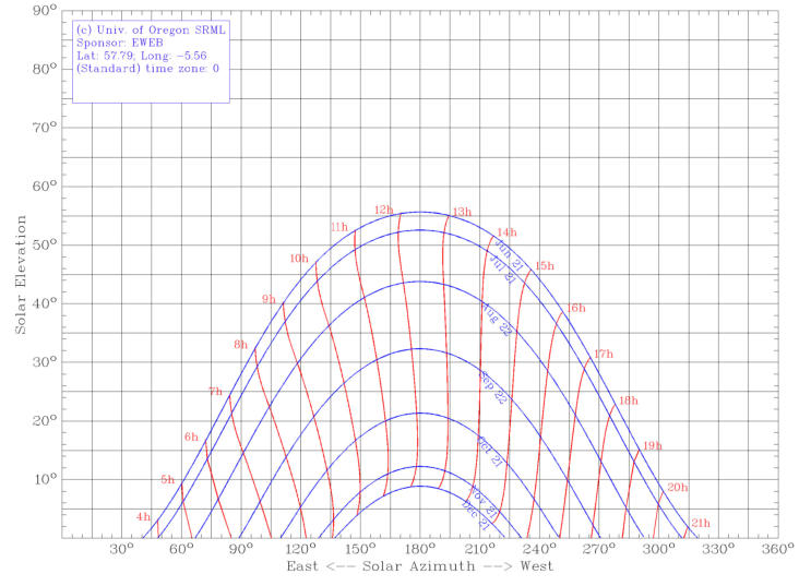
Sun Charts show the path the sun will follow through the sky for a specific location throughout the year, all calculated using lots of
maths that is way beyond my Standard Grade level.
The University of Oregon Solar Radiation Monitoring Laboratory has a useful wee on-line form where you type in your location and
it does the calculations for you and prints a map.
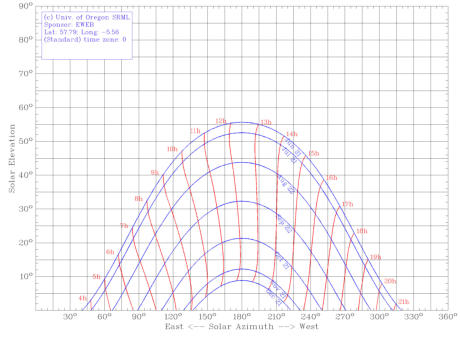
Here is one for Tournaig (57.79°,-5.56°), time is GMT:
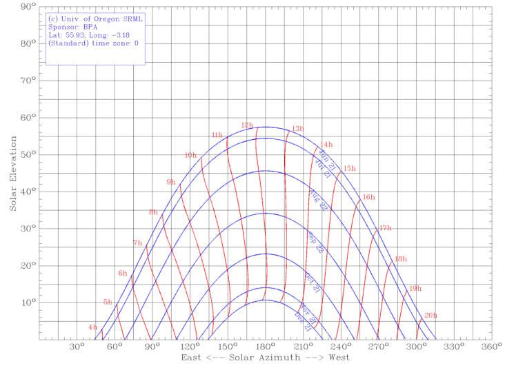
Edinburgh
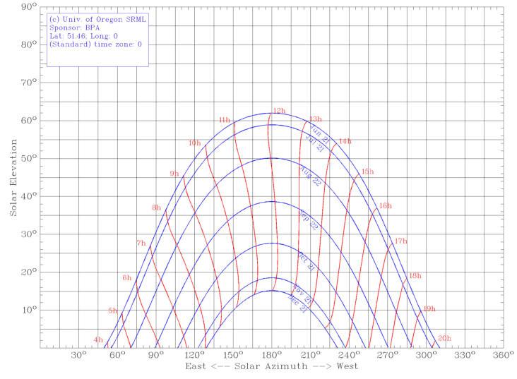
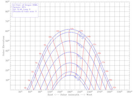
London
Standing on your proposed border site with a print-out of a sun chart for your location and a compass look around you looking for
where trees, buildings and landscape features where intersect the lines on the chart. Where this happens your site will be in shade
during those times.
For a herbaceous border most plants will do best in a site with day-long sunshine so you want as open a site as possible. However
open will probably also mean windier. A compromise between enough shelter to stop the tall plants being blown over and needing
less staking generally and with getting enough sunshine for optimal growth will have to be found.


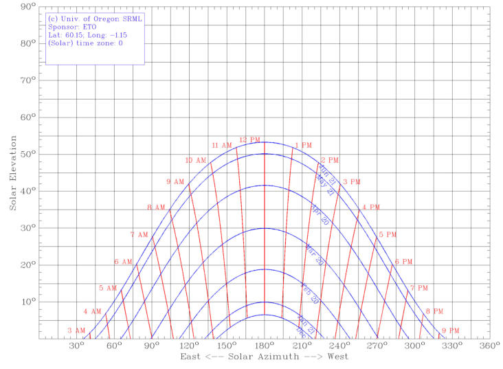
Lerwick

© Garden Cottage Nursery, 2021

How To Bask In The Sun
Sun Charts

Sun Charts show the path the sun will follow through the sky for
a specific location throughout the year, all calculated using lots
of maths that is way beyond my Standard Grade level.
The University of Oregon Solar Radiation Monitoring Laboratory
has a useful wee on-line form where you type in your location
and it does the calculations for you and prints a map.
Here is one for Tournaig (57.79°,-5.56°), time is GMT:
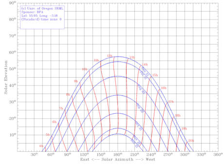
Edinburgh
London
Standing on your proposed border site with a print-out of a sun
chart for your location and a compass look around you looking
for where trees, buildings and landscape features where
intersect the lines on the chart. Where this happens your site will
be in shade during those times.
For a herbaceous border most plants will do best in a site with
day-long sunshine so you want as open a site as possible.
However open will probably also mean windier. A compromise
between enough shelter to stop the tall plants being blown over
and needing less staking generally and with getting enough
sunshine for optimal growth will have to be found.


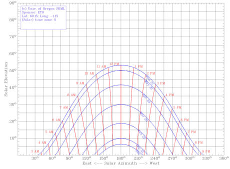
Lerwick


